Bondi to Manly Walk: “The Bondi to Manly Walk is an epic coastal and harbour-side walking track between Australia’s two most famous surf beaches, Bondi Beach and Manly Beach. For its entire length the Walk is on public land, with the vast majority of its 80km on existing well-made and well-maintained bush walking tracks.” We added the Coogee to Bondi Eastern Beaches Coastal Walk.
Here’s the plan:
Plan distances from the B2M website, actual distances recorded on Garmin FR245M watch and uploaded to Wikiloc
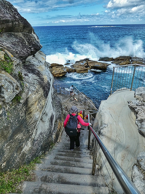
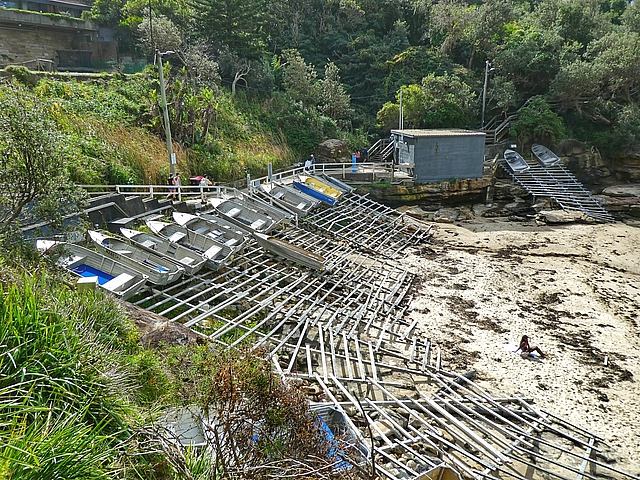
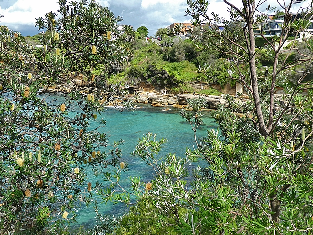
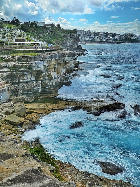
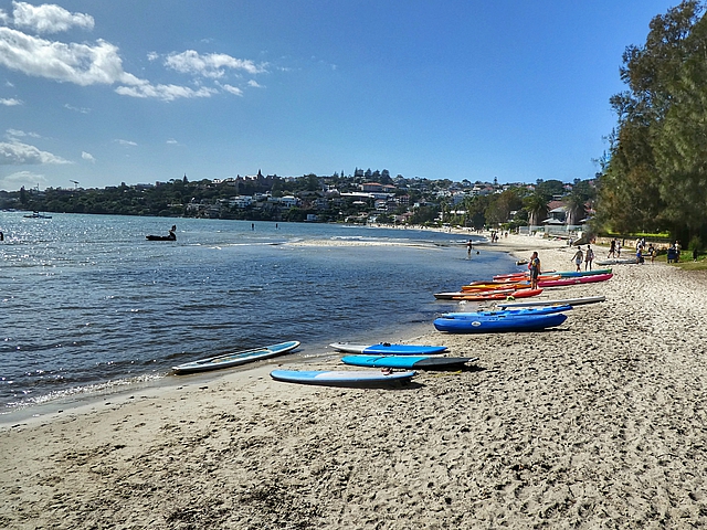
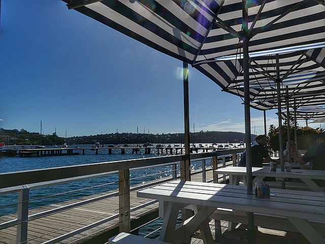
We took a bus from Sydney Airport to Coogee Beach and followed the Eastern Beaches Coastal Walk past cliffs, bays, beaches and pools to Bondi Beach. An “add on” to the Bondi to Manly it’s popular and a great coastal walk.
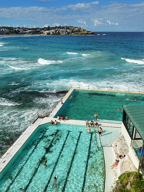
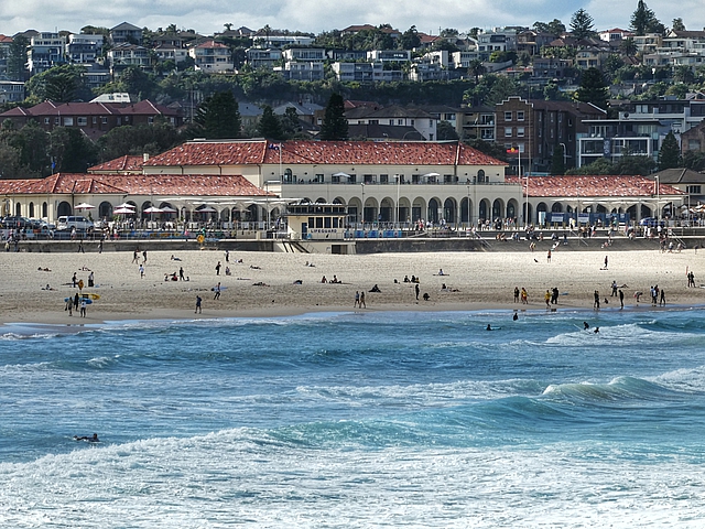
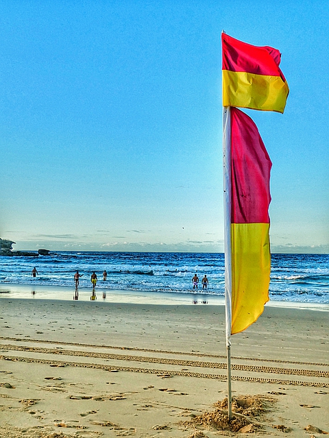
Descending to Giles Baths on the northern headland of Coogee Beach Gordons Bay lined with racks of boats from the local fishing clubEndangered Eastern Suburbs banksia scrub is found only in Greater SydneyPonds in sandstone whose origins can be traced back 300 million yearsClovelly Surf Life Saving ClubWaverley Cemetery is a heritage-listed cemetery on top of the cliffs at BronteBondi Icebergs Swimming Club, home of Winter swimming since 1929For over 90 years, the Pavilion has been a central part of life on Bondi BeachWe spent the night at the historic Bondi Hotel overlooking the Beach
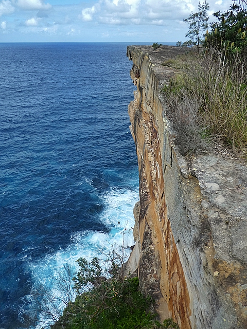
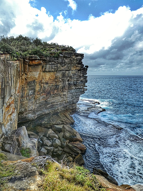
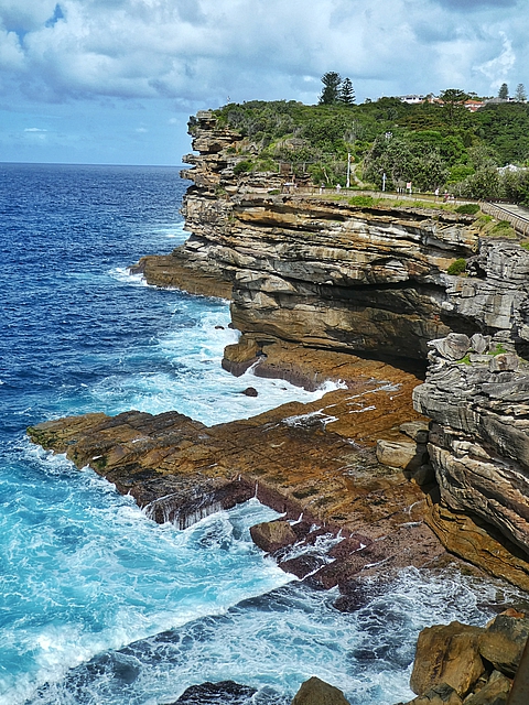
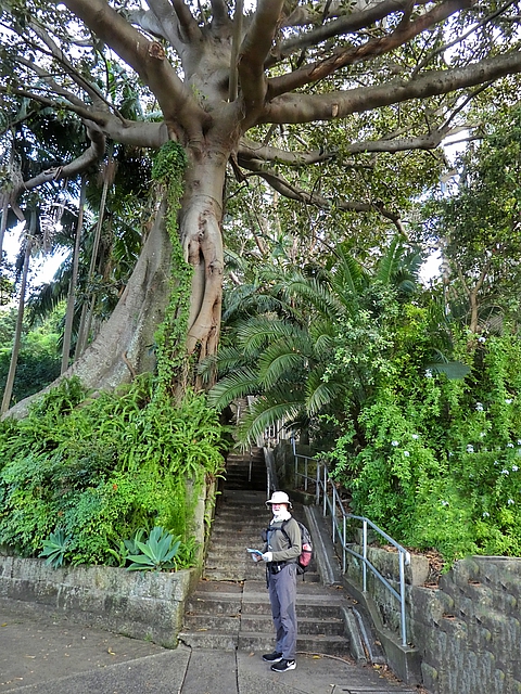
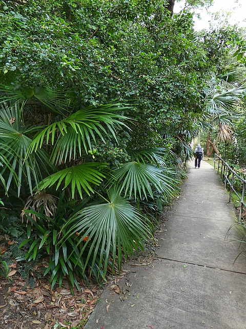
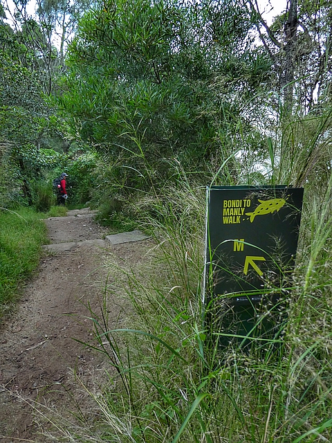
The first section of the Bondi to Manly Walk leaves the Beach with a climb up through suburban streets, slightly interesting with mixed styles of houses. It then follows along the spectacular cliff tops overlooking the Pacific Ocean to the Sydney Harbour South Head and finishing at the popular Watsons Bay.
The route is not especially well waymarked so the Bondi to Manly book and/or APPwith GPS are necessary. There were two bits closed for maintenance but signs indicated the way around.
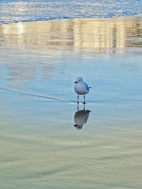
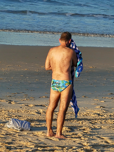
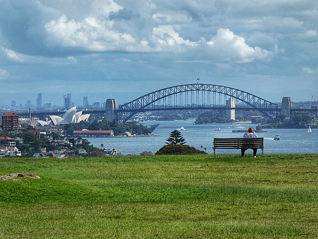
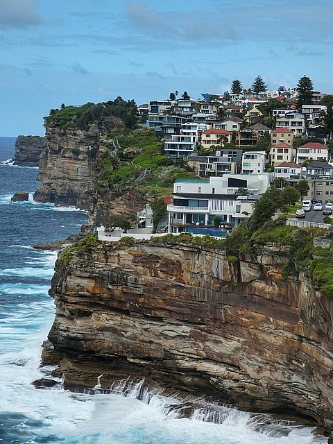
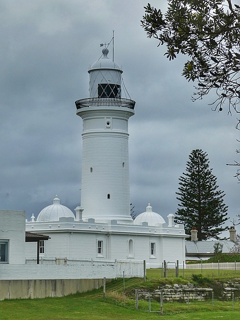
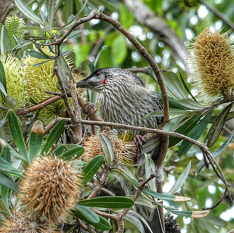
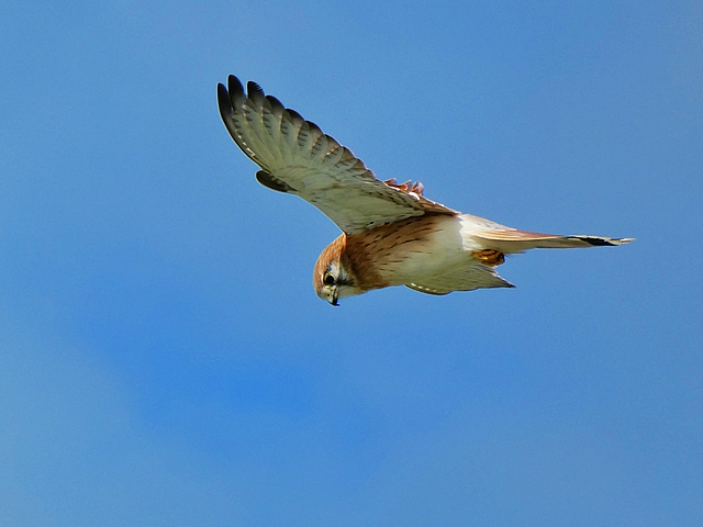
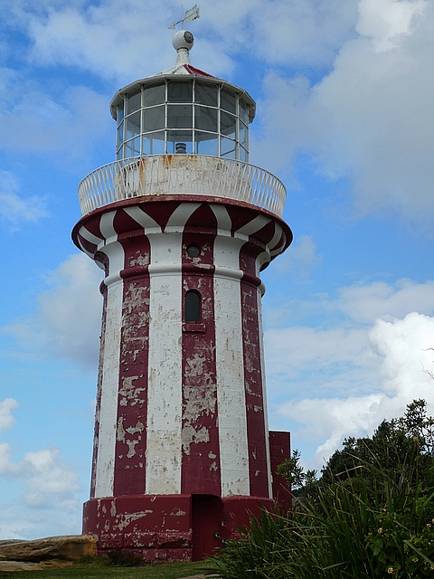
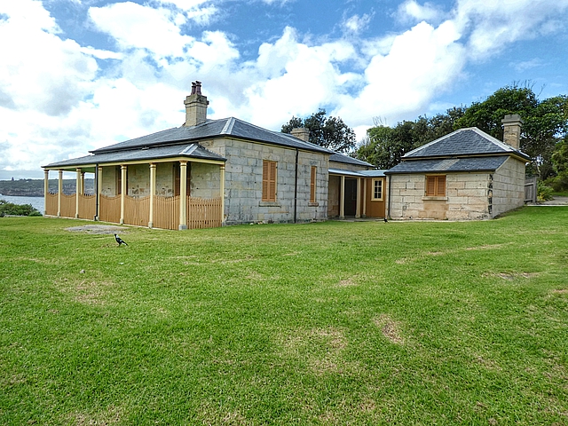
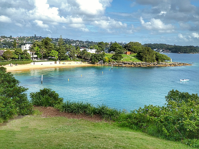
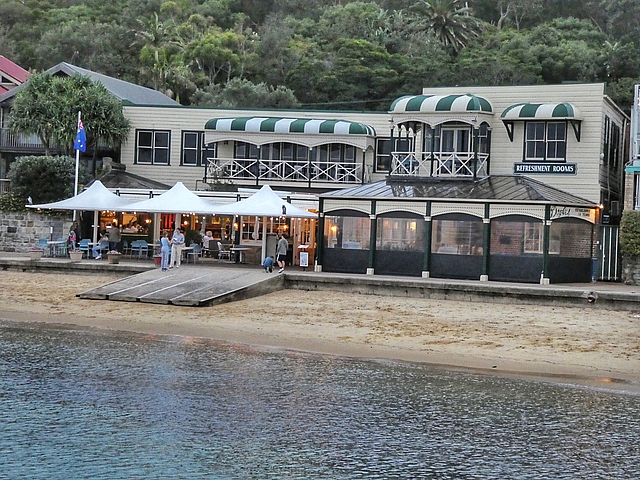
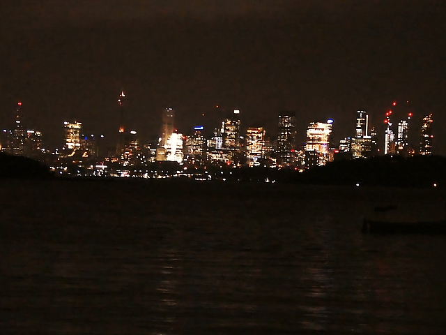
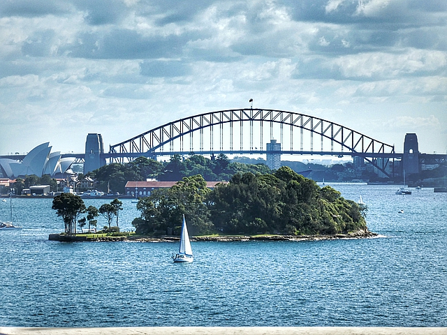
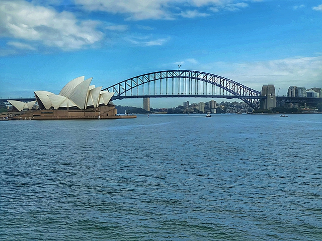
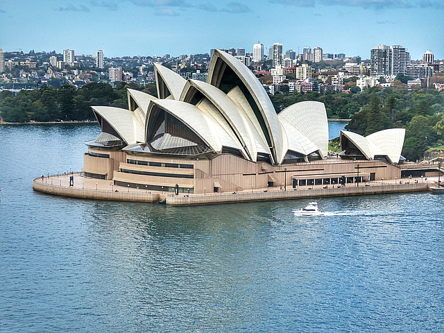
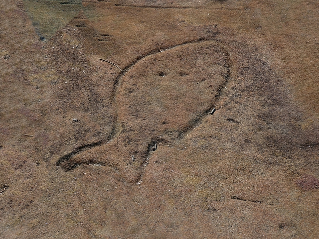
Too cold for us but plenty of people enjoy an early morning swim Seagull enjoys the beach tooThe famous Bondi budgy smugglersRock engravings at North Bondi are believed to be 2000 years old Vegetation creates a “no go” zone to restrict access but these unprotected ancient and unique carvings are threatened by erosion and vandalismFirst sighting of Sydney Harbour and the Bridge we’ll cross in a few daysVaucluse is one the most affluent suburbs in SydneyMacquarie Lightstation is Australia’s first lighthouse Completed in 1818 designed by Francis Greenway, a convict convicted of forgeryRed Wattlebird enjoying a Banksia flowerEntrance to Sydney Harbour, North Head in the background A Nankeen Kestrel looking for prey soars above the cliffsOver a 45 year period Don Ritchie (1926-2012) who lived nearby rescued at least 160 people preparing to suicide from these cliffs near The Gap The Gap is a dip in the sandstone cliffs at South Head ….… below which extends a wave cut shelf“This tiny beach packs a mighty punch with spectacular views” NSW National Parks and Wildlife Service (it’s a nude beach)Hornby Lighthouse at South Head in Sydney Harbour National Park It was built in 1858 following the wrecking of the Dunbar at the foot of South HeadThe Hornby Keepers cottage (1858) The first Keeper was the sole survivor of the DunbarCamp Cove The First Fleet rested for a night here before sailing into Sydney Cove in 1788The famous Doyles Seafood Restaurant in Watsons Bay The Doyle family have been serving seafood from the site since 1885Doyles $51.90 Fish and Chips tastes better than it looksSydney CBD across the Harbour from Watsons Bay
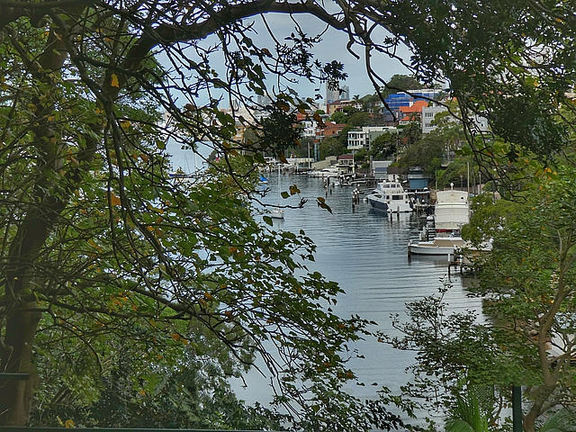
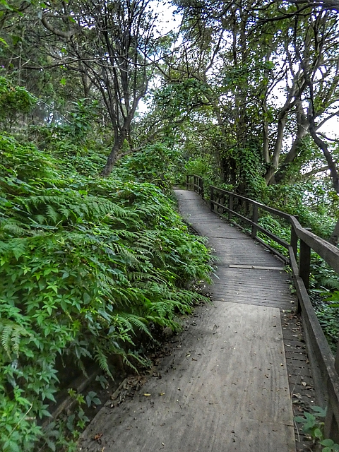
Today’s walk follows the Sydney Harbour foreshore so it’s going to be flat. Wrong, there are a lot of steps! The route takes in secluded beaches, bays and parks with views of the city and its harbour. Part of it is along the Hermitage Foreshore Track through the Sydney Harbour National Park. There’s some urban walking to enjoy the Depression-era “Sydney Red Brick” art deco buildings.
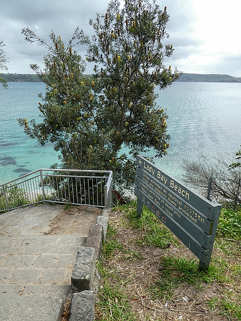
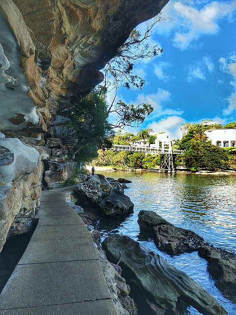
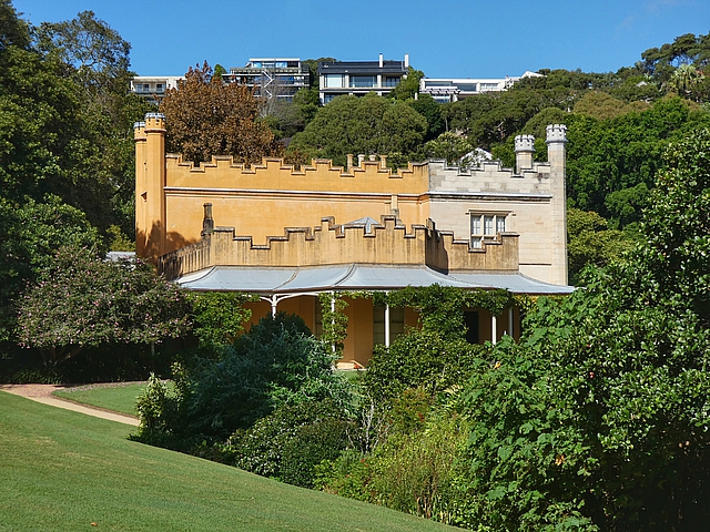
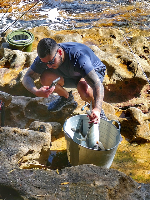
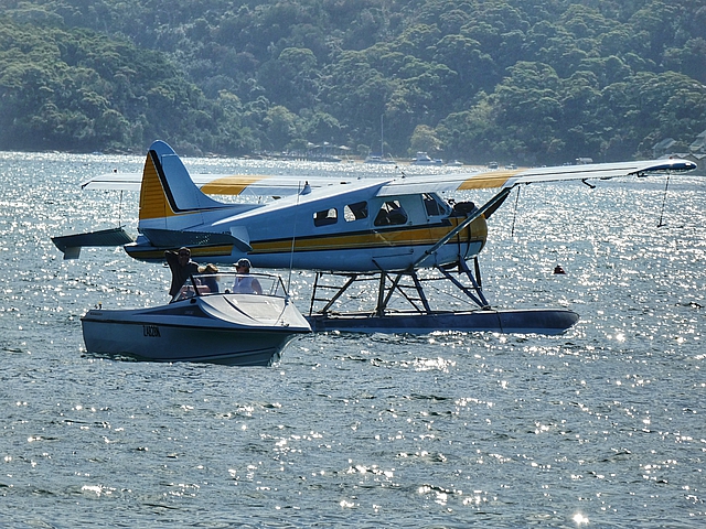
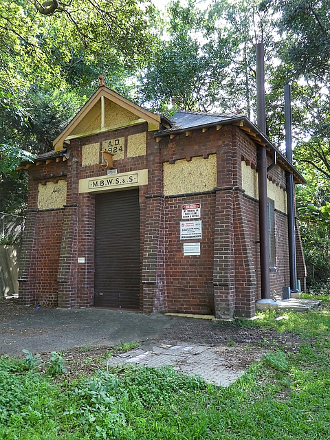
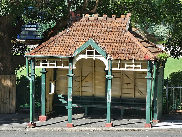
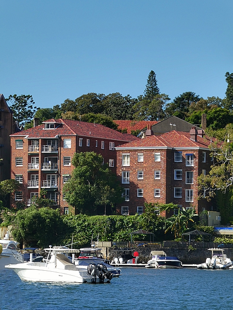
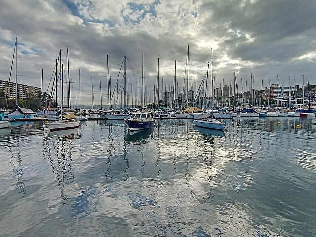
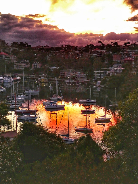
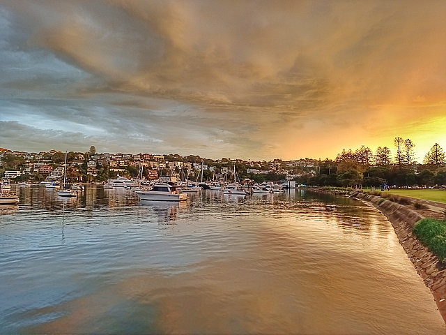
The path to Parsley Bay Bridge which was built in 1910“When an Irish knight was caught kidnapping a local heiress, his punishment was swift: exile to a single-storey cottage in NSW.” Over 50 years the cottage became Vaucluse House, now a museum.The path via Shark Beach was closed so we diverted through Nielsen ParkHermitage Foreshore walk is one of Sydney’s great coastal walks It runs 1.8 km from Nielsen Park through National Park Heritage listed 19th-century Strickland HouseFisherman taking a photo of his catchRose Bay beachRose Bay Water Airport was Australia’s first international airport and the starting point for the Qantas Empire Airways Sydney to London flights from 1938 to 1955 Ansett also operated flying boat services to Lord Howe Island from 1953 until 1974Rose Bay Promenade built from 1924 to 1926 is heritage listed Metropoliton Board of Water Supply and Sewerage (MBWS&S) 1924 utility buildingClark Island was cultivated as a vegetable garden in 1789 by Lieutenant Ralph Clark, who arrived with the First Fleet the year beforeCity of Sydney: “We’re modernising our streets and creating better amenities for residents, visitors and businesses by installing new bus shelters” – let’s hope this one survives1930’s “Sydney Red Brick” art deco apartment buildingsWe enjoyed the Double Bay 18 Footers Club as the sun set
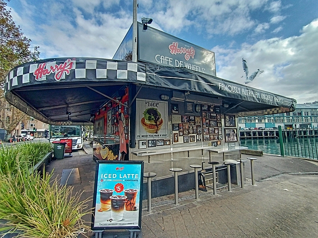
A longer walk today but we couldn’t leave too early as Harry’s Cafe de Wheels pie cart doesn’t open till 9am!
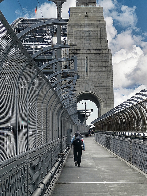
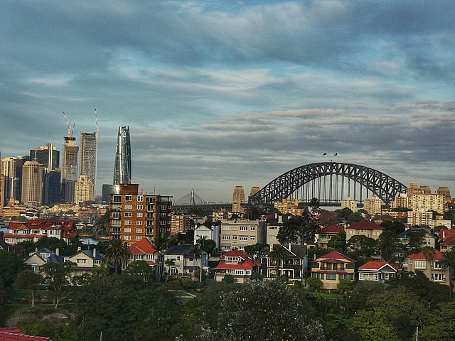
The route follows the Harbour fairly closely and it’s a good day’s walk, crossing the Sydney Harbour Bridge a highlight.
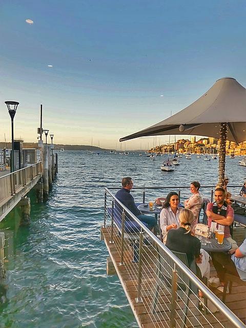
The day’s walk starts with a climb up the steps from Double Bay Double Bay terrace housesRushcutters Bay used to covered in tall rushes used by early settlers for thatching houses, now it’s covered in yacht mastsHarry’s Cafe de Wheels, opened in 1936, is an iconic pie cart located near the gates of the Woolloomooloo Naval YardTiger Pie with mash, peas and gravyWe didn’t want to miss out so we timed our departure from Double Bay to arrive for the 9am opening The harbour-side path The Opera House and Bridge were in sight most of the morning The day’s highlight – walking across the Sydney Harbour Bridge View from the Bridge The walk takes us past Kirribilli House, residence of Australia’s Prime Minister The path through Cremorne Point Reserve …… with glimpses of yachts moored at Shellcove ……and boat sheds …… to Cremorne Point Lighthouse, opened 1910 and still active
We were looking forward to today. It’s years since we’ve carried a pack this far and knew it would be a challenge physically and mentally.
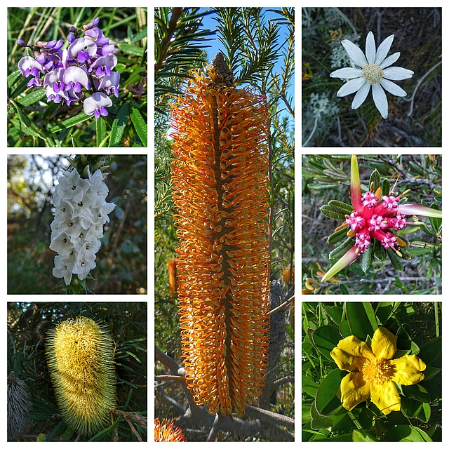
The previous days were along the ocean, the harbour and through urban areas. Today was almost all bushland with a lot of flowering shrubs even in Autumn.
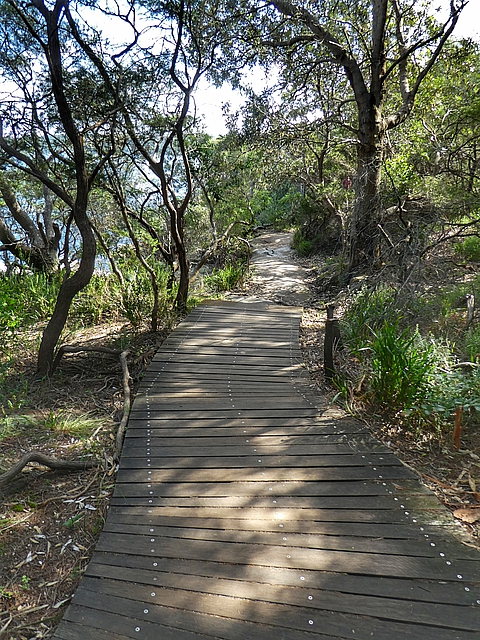
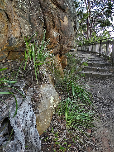
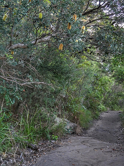
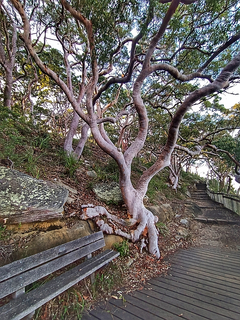
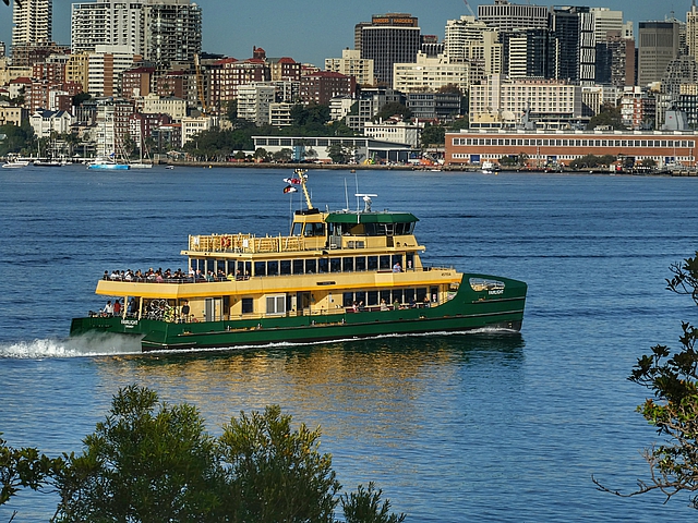
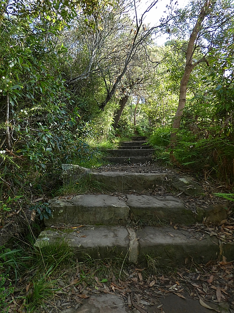
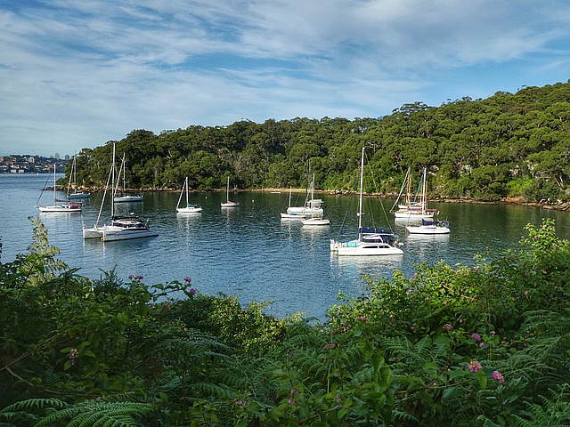
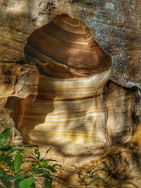
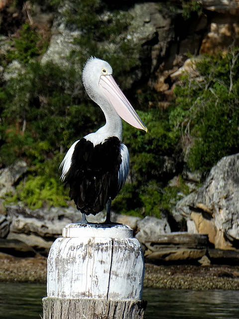
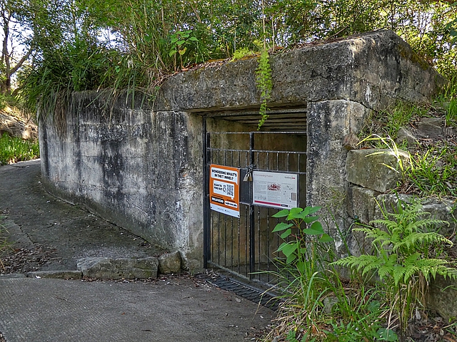
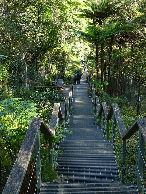
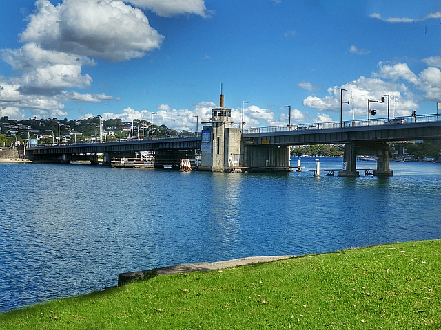
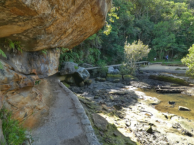
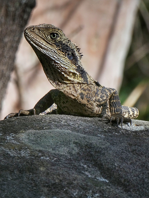
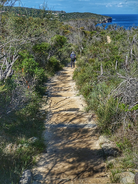
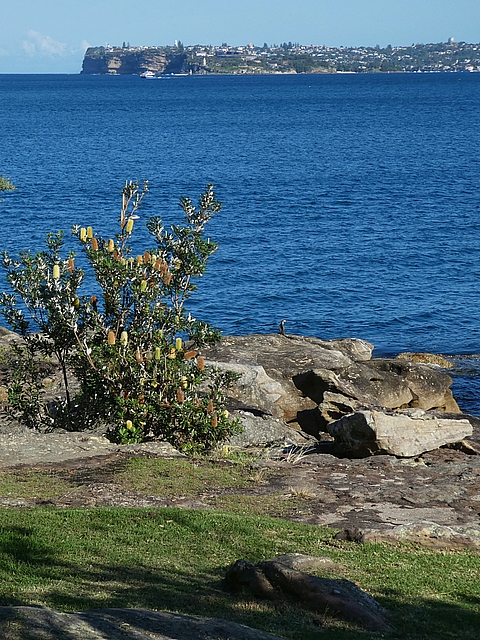
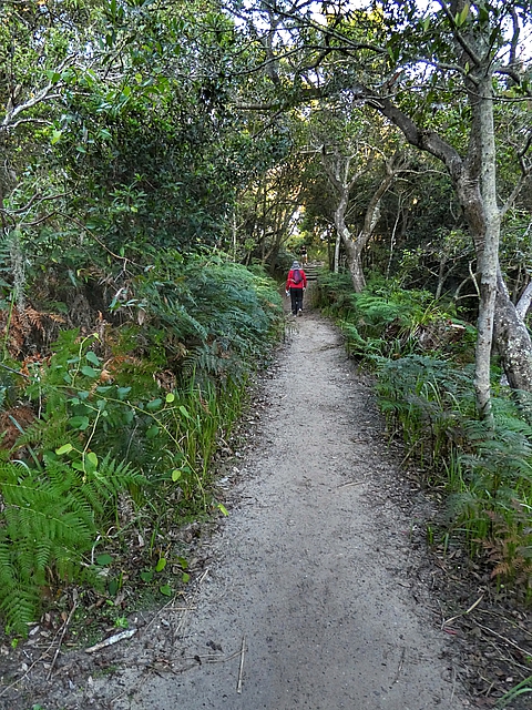
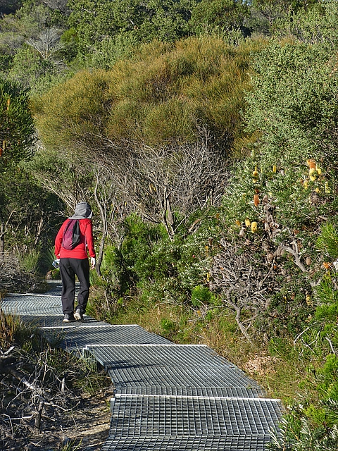
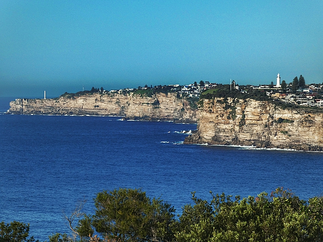
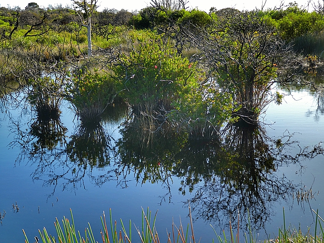
We knew we were in for a long day so we left Cremorne earlyLast look at the Bridge before we turn the cornerYachts moored in Sirius CoveThere are some signs marking the way but not enough to navigate There’s a good path and some very nice bushland around Taronga ZooThe path to Bradleys Head was our favourite It’s a special area of remnant bushland where little has changed in 200 yearsBankias overhang the pathGnarled Sydney Red Gums dominate near the HeadThere’s glimpses of the Harbour – the ferry taking visitors to Taringa Park ZooBack in the bush and up the stepsGhost fungus glows in the darkTaylors Bay, one of the many harbour bays that line the lower north shoreSediments sank to the bottom and, over time, formed layers which cemented to form sandstonePelican on a pole at Clifton Gardens BeachThe day is staring to get warm but it’s shady and cool in the bushThere’s a lot of steps todayInner Middle Head fortifications on Georges Heights were built in 1877 and later upgraded but the guns were never firedThese underground rooms were used to store ammunition for the gunsFrom the Headland, a steep descent to Balmoral Beach …… where we had a late breakfast/early lunchThe Spit Bridge, a low-level bridge with an opening span – only 10k to go to ManlyThe Manly Scenic Walkway The water in the Harbour is surprisingly clearWater Dragon sunning itself The Grotto Point Aboriginal engravings are about 1,000 years oldThe path goes through attractive scrub land …… with beautiful flowersIt’s low tide so we can go this wayLooking back at the South Heads where we were 3 days and 60 km ago Kay-ye-my people met, fished and hunted at this place at Manly for 20,000 years
Today was an easy day, we left our packs behind, for another day of mostly bush walking to the North Head and return.
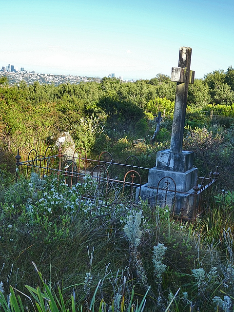
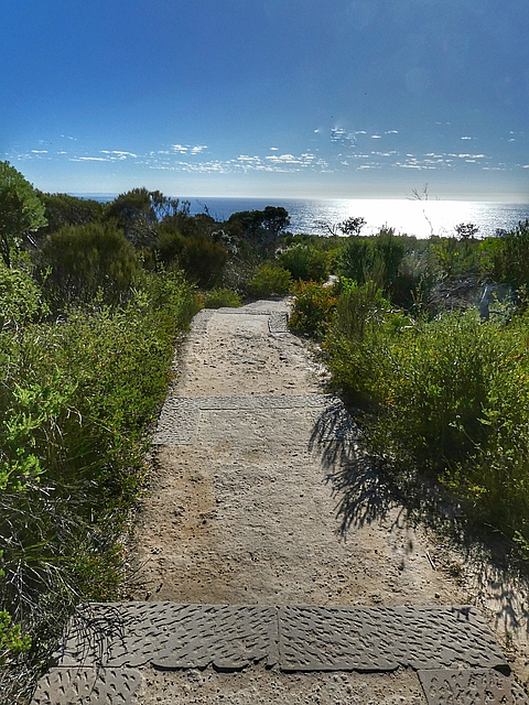
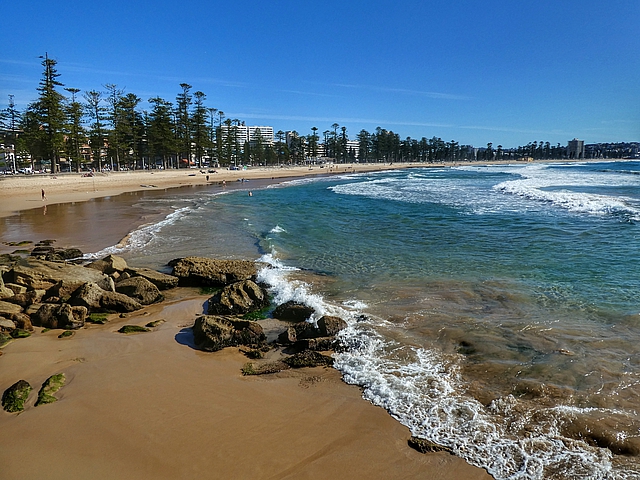
Walking out to the North Head, another day in the bushA pair of Rainbow lorikeets with a nest in a old gum treeThe grid protects the ground, allows sun and rain in but is very slippery to walk onSome of the flowers on the North Head The entrance to Sydney Harbour viewed from the North Head to the South HeadThe Third Quarantine Cemetery at North Head Sanctuary, established in 1881 for victims of a smallpox epidemicHanging Swamp completely out of place surrounded by dry land vegetation New Holland honeyeater thrives on the local BanksiasA well formed path leads down to the Pacific Ocean North Head cliffs Our 6 day, 90 kilometer walk from Coogee finishes at Manly Beach
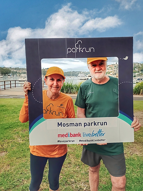
Mosman parkrun
Saturday 29 April 2023
Distance: 5.0 km Time: Jeff 0:40, Pam 0:30 Ascent: 90m Descent: 90m – Wikiloc
Mosman parkrun, a nice course 3 times around The Spit Reserve but with 3 hillsBefore parkrun