The Northern Rivers Rail Trail will ultimately run from Murwillumbah to Casino, 132 kilometers. The first 24 km section from Murwillumbah to Crabbes Creek featuring 26 bridges and 2 tunnels opened in March 2023. It cost $14 million to develop this section.
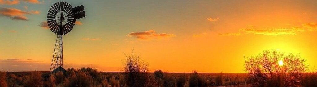
Wednesday 28 February 2024: Numinbah Valley
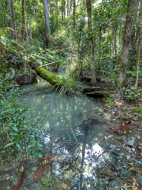
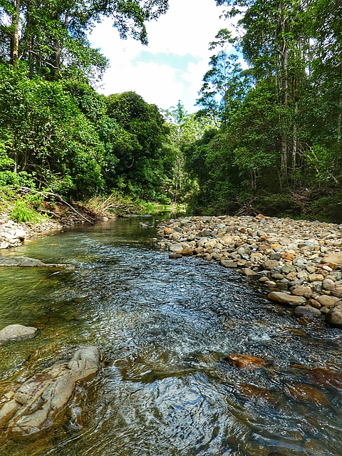
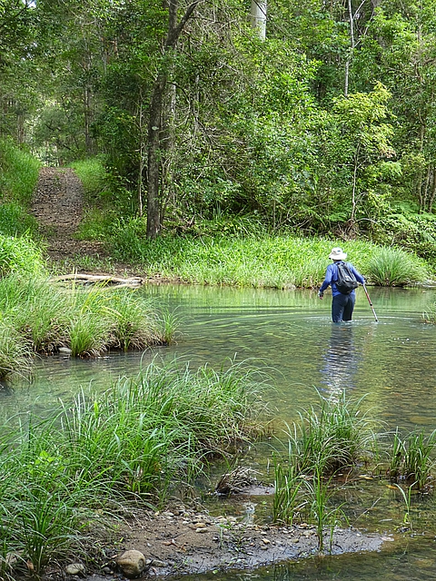
We drove via the Numinbah Valley to Murwillumbah, walking a 13 kilometers circuit of the beautiful Waterfall Creek. Wikiloc track here.
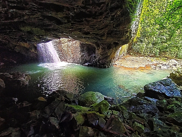
Waterfall CreekWaterfall Creek trackGoanna ran up a tree when it saw us comingWaterfall Creek fordWe enjoyed the 8 wet creek crossings Return via Tagablum Break required a steep climbNatural Bridge, formed by the force of the waterfall over the basalt cave, is about 10 klm further along the Murwillumbah road
Thursday 29 February 2024: Rail Trail to Klm 11 & Return
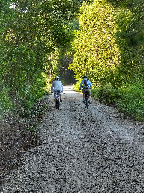
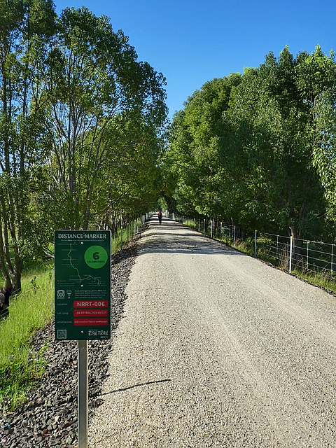
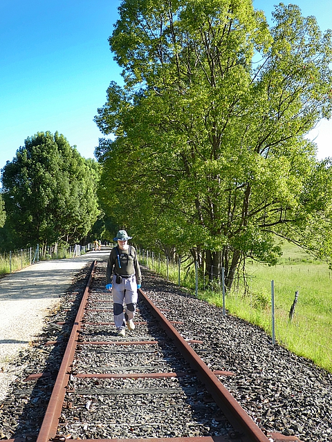
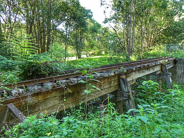
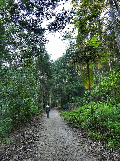
Today we walked 11 kilometers from Murwillumbah, about halfway along the current Rail Trail, and back (22.3 klm). It’s a well made trail and we liked that parts of the old railway have been left in place. There’s 10 bridges in this section. Wikiloc track here.
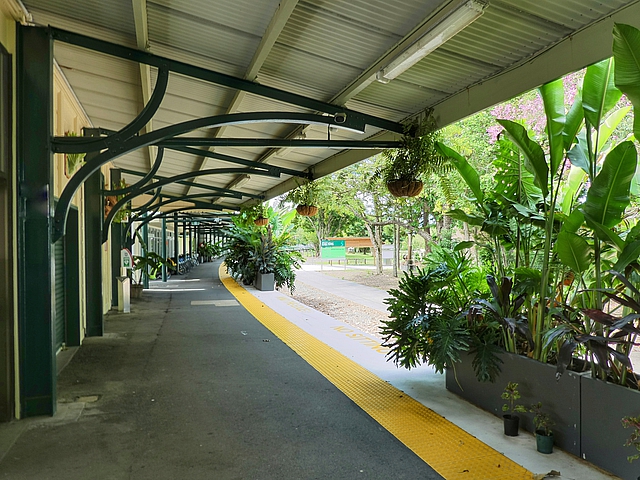
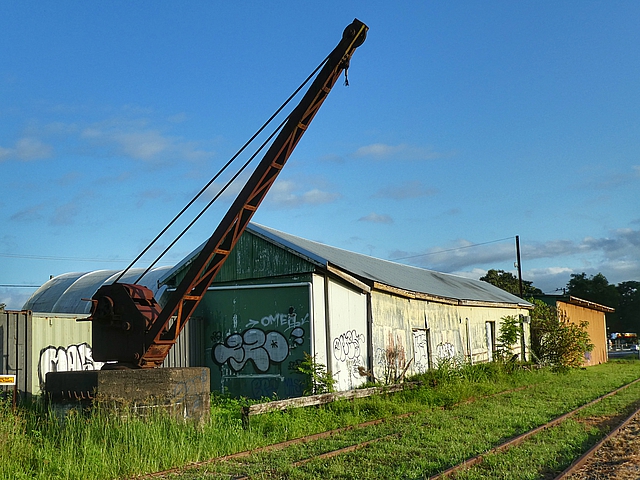
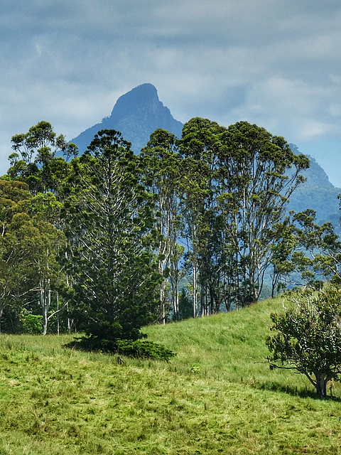
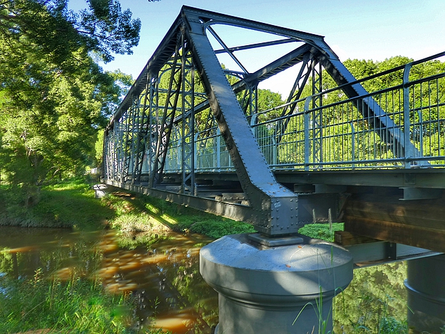
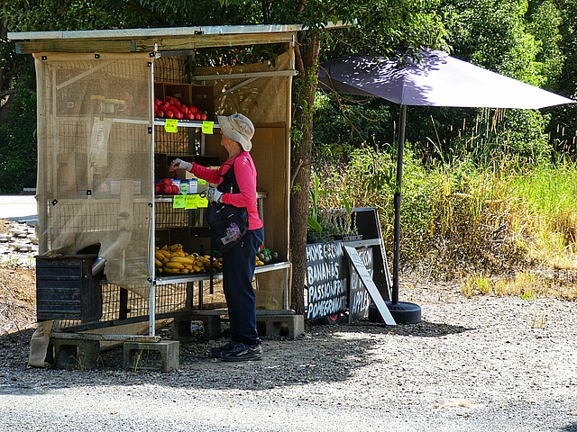
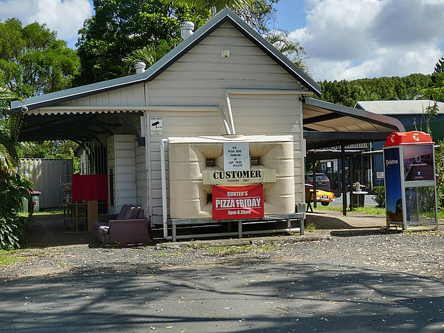
Murwillumbah Railway StationThe water tower was erected in 1894, a rare example of a steel tank on top of a brick tower. It was used until the 1960sTrain turntable was turned by handThe cargo shed stored bananas, cream and pigs for the Sydney market Beautiful Tweed ValleyWollumbin/Mt Warning, 1157 meters above sea levelThe Rail Trail is very popular with bike ridersThere are distance markers every kilometerJeff walking on the old railway lineAn old Valley house beside the rail lineDunbible Creek Bridge – very few bridges used steel trussesMost were simple wooden constructionsWe stopped at a wayside stall to buy pomegranates and passionfruitsThe old Stokers Siding station is now the town Post Office and storeKilometer 11 bridge where we turned around, a convenient parking place for tomorrow’s startWe spent 2 nights glamping at Hosanna Farmstay just off the Rail Trail, about 8km from Murwillumbah
Friday 01 March 2024: Rail Trail Klm 11 to End & Return
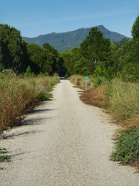
We started today where we finished yesterday at Kilometer 11. It’s about 13.5 kilometers to the end, and the same back. The highlight was walking through the two tunnels especially the 524m long Burringbar Range Tunnel with glowworms shining on the roof. Wikiloc track here.
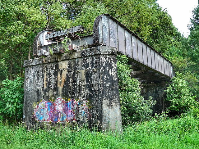
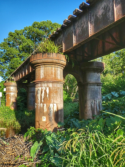
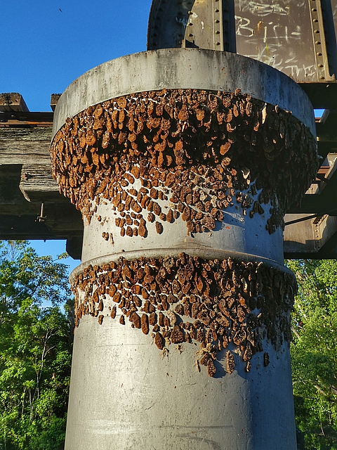
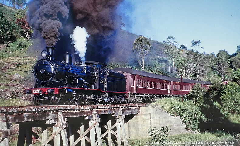
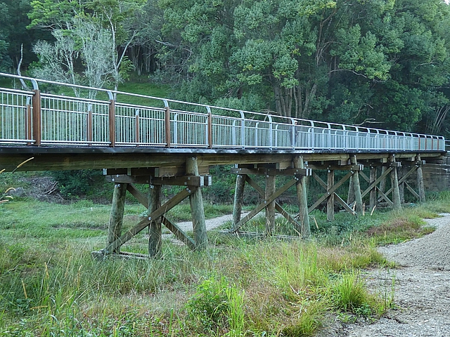
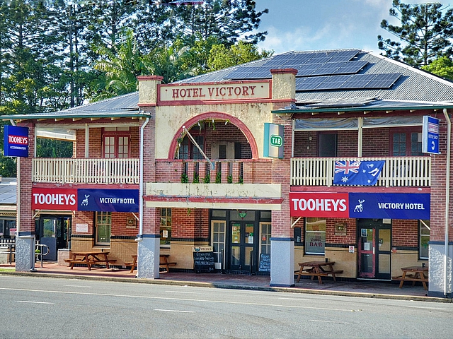
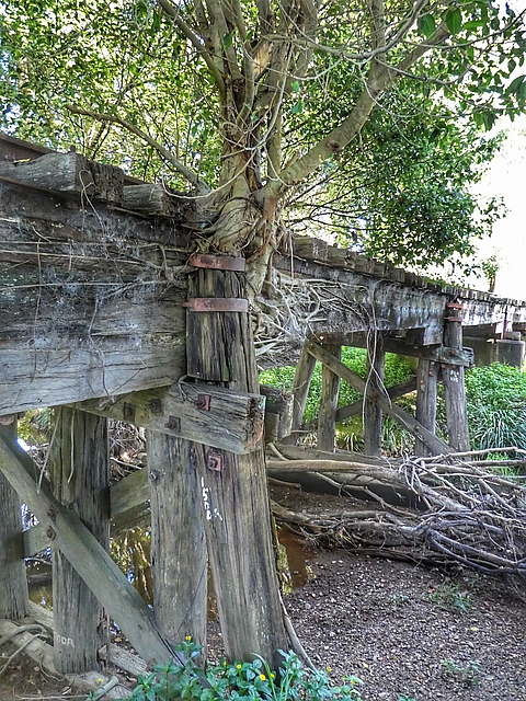
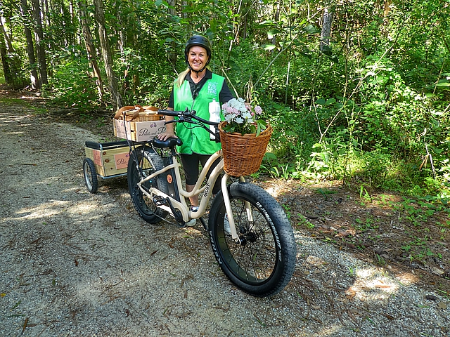
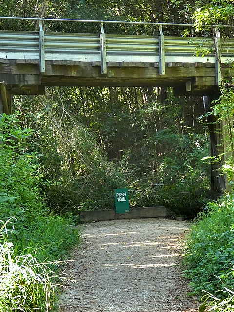
Burringbar Range Tunnel is 524m long, opened 1984 and closed to trains in 2004 Since then glow worms and microbats have moved inThe Burringbar Range is cool and shaded forestThere is a rare group of wrought iron, web plate girder railway bridgesNative bees nesting on the bridgeEast of the Burringbar Range is more open, less shadeThis is what it used to be (photo of a 1964 photo)The effort that’s gone into making the Rail Trail – this timber bridge has been constructed specially for the Trail, replacing the unserviceable Railway Bridge Hotel Victory at Mooball was built in 1932 after the nearby Burringbar village pub burnt down Second tunnel on this section, Hulls Road TunnelFig tree has a grip on this bridgeToday was the first anniversary of the opening of the Rail Trail so the Council employed Pedals and Picnics to go along handing out Rail Trail water bottles and orange ice blocksWe made it to the end of the Tweed Section of the Rail Trail Then had to walk 13.5 kilometers back!Beyond The End – glimpse of what’s to come